


Mapping Canopy Dynamics: LiDAR Analysis of Tree Health in Allan Gardens
Project Details
Description
In an innovative project conducted at Allan Gardens, Toronto, I utilized LiDAR (Light Detection and Ranging) technology to meticulously track and analyze changes in tree canopy cover between 2015 and 2019. My study, titled "Mapping Canopy Dynamics: LiDAR Analysis of Tree Health in Allan Gardens," aimed to meticulously document tree growth, the introduction of new trees, and the removal of existing ones within this venerable urban park.
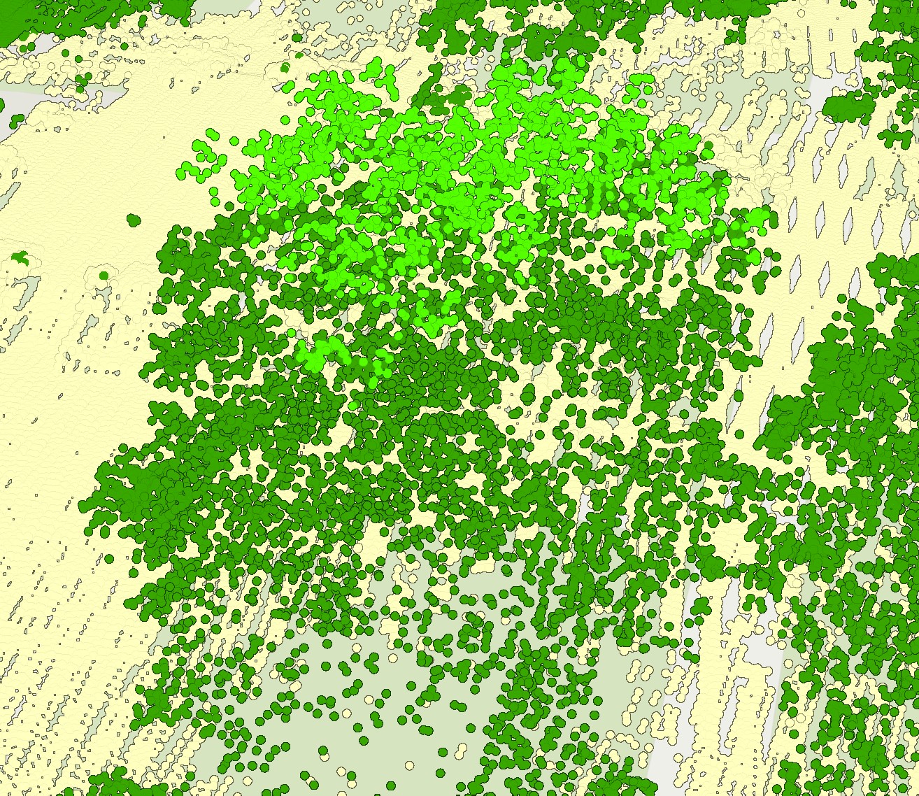
Employing aerial LiDAR data, provided by Toronto Metropolitan University, enabled me to capture detailed three-dimensional representations of the park's landscape, providing unparalleled insights into its ecological dynamics. The project involved the creation of Canopy Height Models (CHM) for 2015 and 2019, which were instrumental in performing a change detection analysis to spotlight significant alterations in canopy height throughout the park.
I focused on five specific tree species to assess individual growth patterns and overall health. By utilizing the R package ForestTools, I was able to analyze changes in both the height and width of the tree canopies over the four-year period, allowing for a detailed quantitative assessment and visualization of these changes. This analysis not only highlighted the dynamic nature of urban forestry but also underscored the resilience and growth of urban green spaces amidst environmental and anthropogenic pressures.
The results of my research indicate a net increase in tree canopy cover in Allan Gardens, with the majority of the trees displaying growth in height and crown diameter. These findings are crucial for urban planning and conservation efforts, providing a scientific basis for informed decision-making regarding the management and development of green spaces in Toronto.